Long layover should never be wasted especially in foreign cities or a city you have never been to before. It’s basically a free day to explore and get out of the airport.
The biggest issue in new cities is trying to figure out if you have enough time on your layover to get out in to the city. There are some tools to help you decide how far you can go and what you can see.
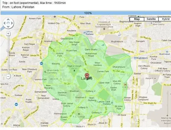
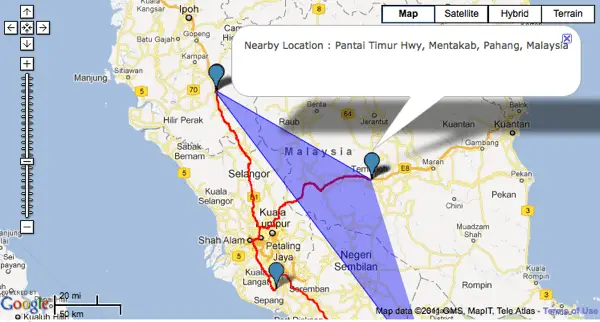
Cartoo will help determine how far you can travel from a selected destination. For example, if you were at Kuala Lumpur airport and were wondering how long it would take to get into the city you could use this tool.

Another similar tool is the How Far Can I Travel from Free Map Tools.
Again, very similar service just a slightly different interface.
Lastly, there is Mapnificent which show you areas you can reach with public transport in a given time.

Things to note is these tools do not take in to account getting back to the airport, check-in time, and other various airport procedures.
My favorite is the How Far Can I Travel map. It allows the most customizable in terms of travel settings. Together they all work together to get you some valuable travel information.
See my post on my 7 hour layover in Kuala Lumpur for ideas on how to maximize a layover.


